

Arches and Canyonlands
January 2003
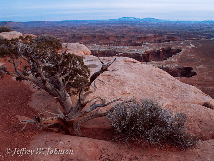
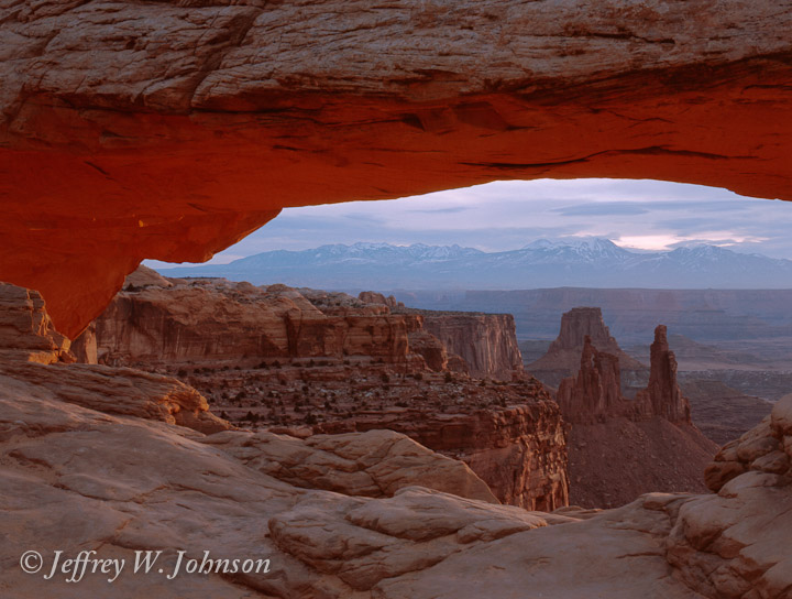
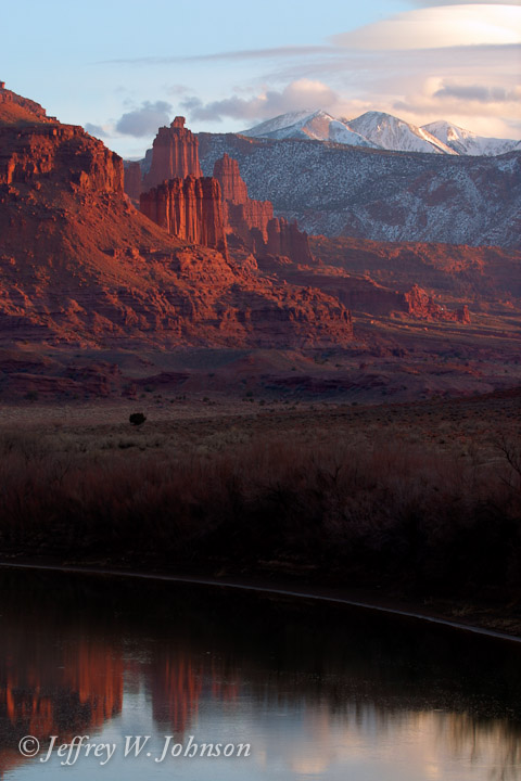
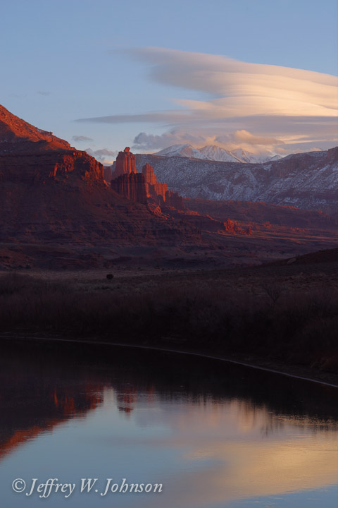
In January 2003 I took a trip to Canyonlands NP and Arches NP. I left work at about 11am and was easily in place for sunset at the Island in the Sky region of Canyonlands. The only problem was that the sun didn't really show. I did get some pictures from the overlooks without the sun shining and was able to check out the hike to Mesa Arch for the next morning so I would know how to get there. I then drove to Moab and checked into my hotel and found something to eat. About half the restaurants were closed at this time of year, but I was able to survive. I really didn't spend much time in town at all, except to sleep. Moab is perfectly located in the center of Arches NP and the Needles and Island in the Sky regions of Canyonlands NP. It's also close to a formation overlooking the Colorado River called Fisher Towers. This was the longest trip I've taken by myself. It did get a bit lonely at times, but the quiet and solitude are great ways to de-stress from my usually hectic life. I hope you enjoy the photos.
Bronica ETRSi, Zenzanon PE 45-90mm f/4-5.6, Fuji Provia 100F
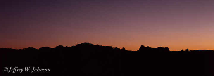
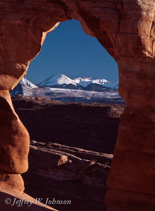
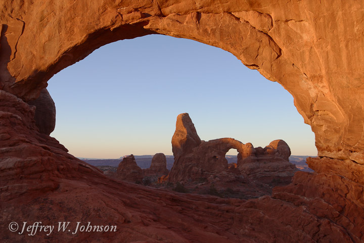
Sunset looking toward the Windows area of Arches.
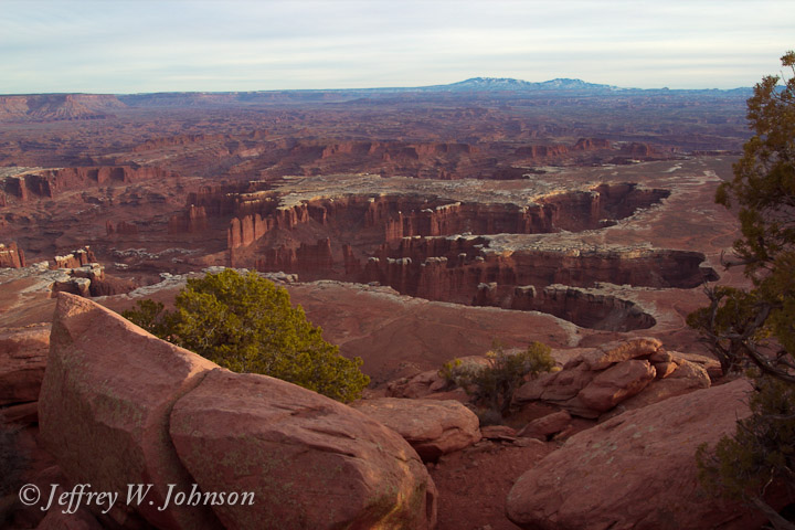
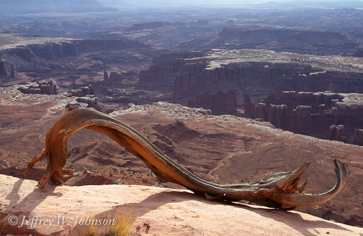
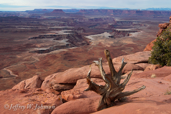
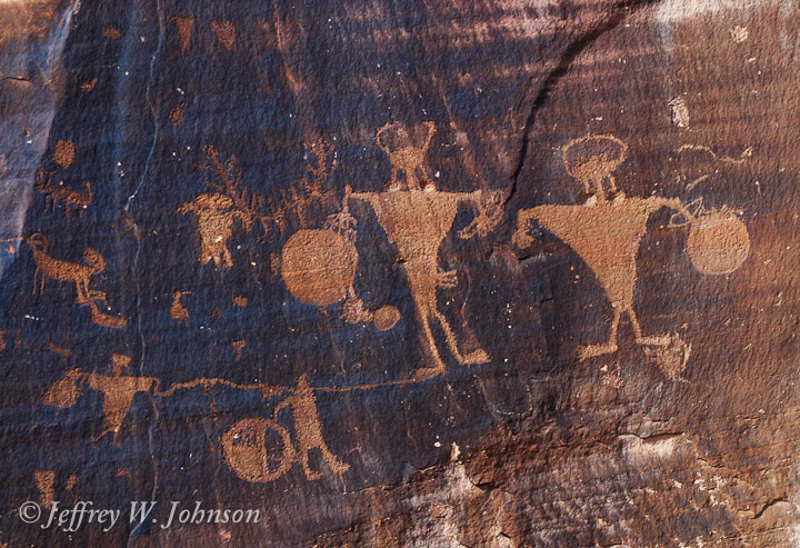
Canyonlands National Park is an unusual park in that it consists of several parts. Some are connected geographically, but not by road. Other parts are totally disconnected. The main areas are the Island in the Sky, the Needles, and the Maze. Horseshoe Canyon has also been added to the park to preserve the rock art there. You can easily drive to the Island in the Sky and the Needles areas, but most of the Maze requires a high-clearance four wheel drive vehicle. Horseshoe Canyon is accessed by some long dirt roads and then a hike. The Island in the Sky name never made much sense to me until I drove there and saw that it almost is an Island. There is a small neck of land just wide enough for the road that connects the plateau to the rest of the terrain. It makes for spectacular views of the Colorado River drainage to the south and east and the Green River drainage to the west.
The Needles district of the park is about 75 miles by car from the Island in the Sky. When the sun disappeared I decided to drive down there and see what it was like. It was about a two hour drive. The Needles Visitors Center has a nice movie about the park as well as a 3D map of the whole place that helps orient you. If you make this drive be careful of the open grazing land. I passed many very large cows just barely off the pavement.
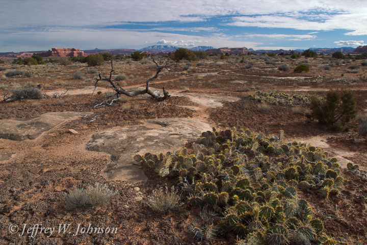
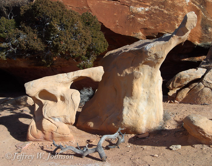
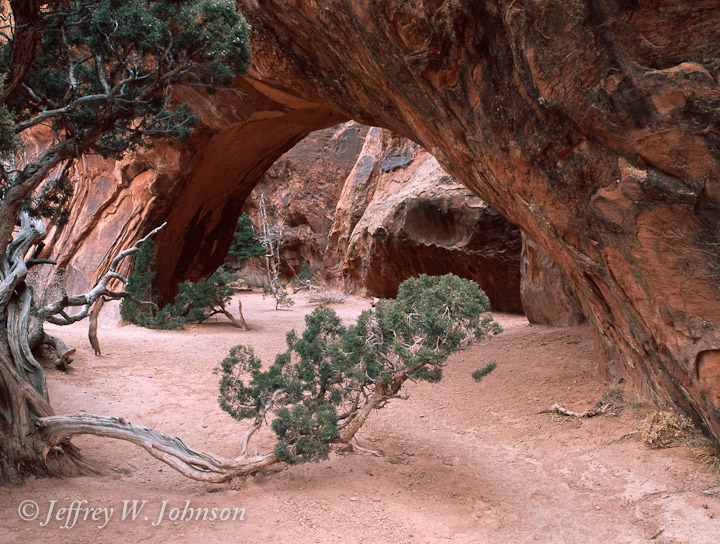
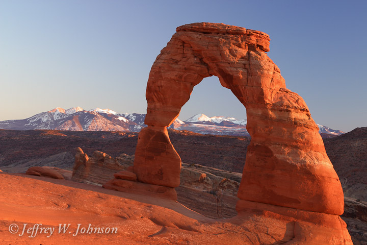
The entrance to Arches National Park is about 5 miles north of Moab. I figured that the middle of winter would be a good time to avoid the crowds that are usually there. The first sunrise shoot I planned didn't happen. I was there, but the sun was blocked by clouds most of the morning. I went on a hike up to Navajo Arch, and then drove around to a bunch of different viewpoints just to kill time. By early afternoon it looked like it would clear up for sunset so I decided to make the hike up to Delicate Arch. It was well worth it.
For all my pictures of Canyonlands on this trip check the Image Catalog under Canyonlands 03. For all my pictures of Arches on this trip check the Image Catalog under Arches 03.